Conservation Authorities: Protecting People and Property
South Nation Conservation (SNC) updates floodplain and erosion maps (or natural hazard maps) on behalf of its partner municipalities when requested, specifically in areas facing increased development pressures.
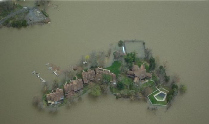
Natural hazard maps are used by municipalities and SNC when updating Official Plans and zoning schedules, and in reviewing development applications to protect people and property from natural hazards and guide sustainable development activities.
Regulation areas included on draft maps include the greatest of whichever natural hazard is present: floodplain or riverine erosion. It's important to speak with the Conservation Authority when considering developing in these areas to determine what type of hazard or constraint may exist.
Development projects within natural hazard areas (like floodplains) require permission from the Conservation Authority before proceeding. Please visit SNC's Regulations Webpage to learn more about regulations made under Section 28 of the Conservation Authorities Act, (Ontario Regulation 170/06 Regulation of Development, Interference with Wetlands and Alteration to Shorelines and Watercourses).

Public Consultations
When updating natural hazard maps after completing a comprehensive study, Conservation Authorities will invite affected property owners to review draft maps and provide any comments during public consultations.
Consultations help update Regulation Areas where permission (through a permit) may be required for certain construction or shoreline development activities. Please note that these consultations do not replace any municipal requirements or public notices to update policies or zoning schedules.
Consultation dates are regularly posted on SNC's website calendar, upcoming details can be found below.


