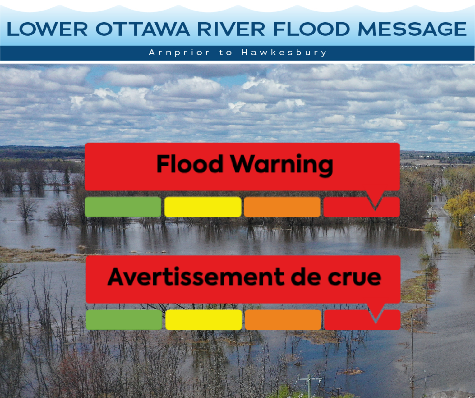
April 20th, 2026 – This FLOOD WARNING statement is an update to the Flood Watch issued for areas along the Lower Ottawa River (Arnprior to Hawkesbury) on April 17th, 2026.
Water levels and flows have been gradually increasing along the main stem of the Ottawa River due to recent rainfall combined with snowmelt in the Ottawa River Basin.
From Arnprior to Britannia, major flood levels were exceeded in flood prone areas over the weekend. Water levels and impacts are expected to continue to increase over the next few days.
Downstream of Britannia to Hawkesbury, minor flood levels were exceeded in flood prone areas over the weekend. Water levels and impacts are expected to continue to increase over the next few days, with the potential for major flood levels to be exceeded in some locations.
The minor flood level is defined as the level at which parts of some streets, lawns and parks are beginning to flood, with no or few houses/buildings being affected.
The major flood level is defined as the level at which one or several streets are beginning to flood, with several houses/buildings or neighbourhoods being affected.
Water levels are currently expected to remain well below historical flood levels
on the main stem of the Ottawa River.
This advisory includes the following impacts in flood prone areas along the Ottawa River:
Fitzroy Harbour to Shirley’s Bay
Water levels in the Constance Bay area are currently at the 10-year flood event level and are expected to rise by up to 10 cm throughout today and tomorrow. Residents can expect flooding in low-lying and flood prone areas. No impacts to roadway access are anticipated at this time. A small number of low-lying properties will experience water at residential structures.
Grandview to Britannia
Water levels are expected to rise by 10 to 15 cm throughout today and tomorrow and will result in nuisance flooding of low-lying areas, including residential yards and parkland. At this time, impacts are expected to remain largely limited to yard-level encroachment, with no widespread impacts to structures or roadway access anticipated. A small number of low-lying properties will experience water at residential structures.
Petrie Island to Cumberland
Water levels are expected to rise by up to 15 to 20 cm throughout today and tomorrow and will result in flooding of low-lying roadways, parkland, and adjacent properties. In some areas, water on roads will limit access. A small number of low-lying properties will experience water at residential structures.
City of Clarence-Rockland to Hawkesbury
Water levels are expected to rise an additional 10 to 15 cm resulting in flooding of low-lying roadways, parkland, and adjacent properties. In some areas, water on roads may limit access. A small number of low-lying properties will experience water approaching residential structures.
Residents in flood-prone areas are encouraged to closely follow changing conditions and to take necessary measures, such as:
- Sump pump is clear, in good working condition and has a backwater valve on it.
- Easy access to portable backup generator and pump.
- Downspouts are clear and the outlet is at least 3 m from the dwelling.
- Driveway culverts are clear of debris and drain well.
- Securing items that might float away as flows increase.
Residents are advised to stay away from watercourses where flows are high and where banks might be unstable. Parents are encouraged to explain dangers to children and provide appropriate supervision around all waterbodies.
The Mississippi Valley, Rideau Valley, and South Nation Conservation Authorities monitor water levels and weather forecasts with the Ministry of Natural Resources as part of the Flood Forecasting and Warning Program. Updates are provided as conditions change.
The Ottawa River Regulating Committee will be reassessing forecast conditions and providing hydrological condition updates on its website daily at www.ottawariver.ca/forecasts/. To view current flood warnings across Ontario, visit: www.ontario.ca/page/floods
This FLOOD WARNING is in effect until April 27th, 2026 at 5:00 PM.
South Nation Conservation
Phillip Dagenais, Water Resources Specialist
(613) 984-2948 | pdagenais@nation.on.ca
Definitions:
- Water Conditions Statement: Water Safety: indicates that high flows, melting ice or other factors could be dangerous for such users as boaters, anglers, and swimmers but flooding is not expected.
- Water Conditions Statement: Flood Outlook: gives early notice of the potential for flooding based on weather forecasts calling for heavy rain, snow melt, high winds, or other conditions.
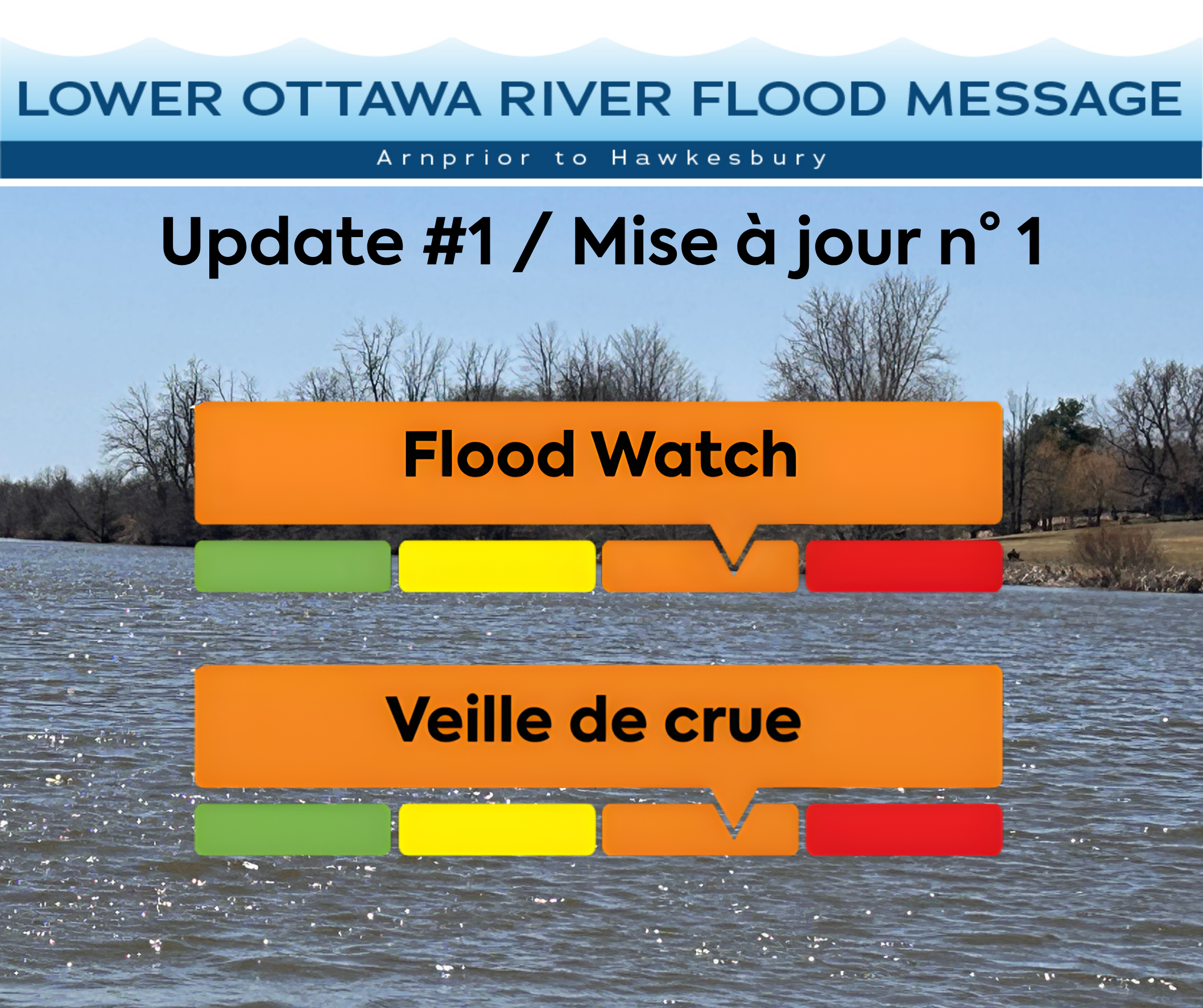
- Flood Watch: potential for flooding exists within specific watercourses and municipalities.
- Flood Warning: flooding is imminent or occurring within specific watercourses and municipalities.
-end-
Next Article