
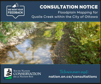
Public Consultation for New Floodplain Mapping along Quaile Creek in Ottawa
South Nation Conservation (SNC) is inviting residents in the City of Ottawa to engage in public consultations regarding updated floodplain mapping for areas along Quaile Creek. This study aims to manage flood and erosion risk and ensure sustainable development practices for the region.
Natural hazard maps are important tools used by municipal governments, Conservation Authorities, and planning agencies to guide development, zoning, and emergency preparedness. These maps are used when reviewing development applications to assess natural hazards such as flooding, erosion, and steep slopes, which can pose risks to both people and property. For properties within the regulated floodplain, development requires approval from Conservation Authorities before building permits are granted.
This project, supported by the Government of Canada and the City of Ottawa, is to develop floodplain mapping along Quaile Creek. Through cutting-edge digital topography, bathymetry (the study of underwater features), water resource modeling, and field surveys, the study aims to accurately delineate flood-prone areas and provide a clearer understanding of flooding and erosion hazards during various storm events. This mapping will help to better inform future development decisions, land use planning, and flood mitigation strategies in the region.
"We're committed to ensuring that our communities are resilient to flooding and other natural hazards," said Sandra Mancini, Managing Director of Natural Hazards and Infrastructure at SNC "The floodplain mapping for Quaile Creek will provide essential data to guide sustainable development and reduce risks to people and property. We encourage all residents in the study area to participate in these consultations to learn more about the proposed mapping changes,” added Mancini.
Residents of properties along Quaile Creek’s floodplain area are invited to schedule meetings with SNC staff. These meetings will provide an opportunity to ask questions, view maps, and discuss how the updated floodplain mapping might affect their property and development plans.
Residents who wish to learn more can schedule a phone or virtual meeting with SNC on weekdays between March 17th and March 28th.
In person 1-on-1 meeting opportunities can be scheduled during the following:
- Wednesday March 26th, 2025, 5 PM to 7 PM at the Greely Community Centre - Hall A.
(1448 Meadow Dr, Greely, ON) - Thursday March 27th, 2025, 9 AM to 4 PM at the SNC Administrative Office
(38 Victoria Street, Finch, ON)
To learn more and access the meeting request form, please visit nation.on.ca/consultations.
For more information: Erin Thorne, SNC Communications Specialist,
ethorne@nation.on.ca, 1-877-984-2948.