
Water Levels & Precipitation
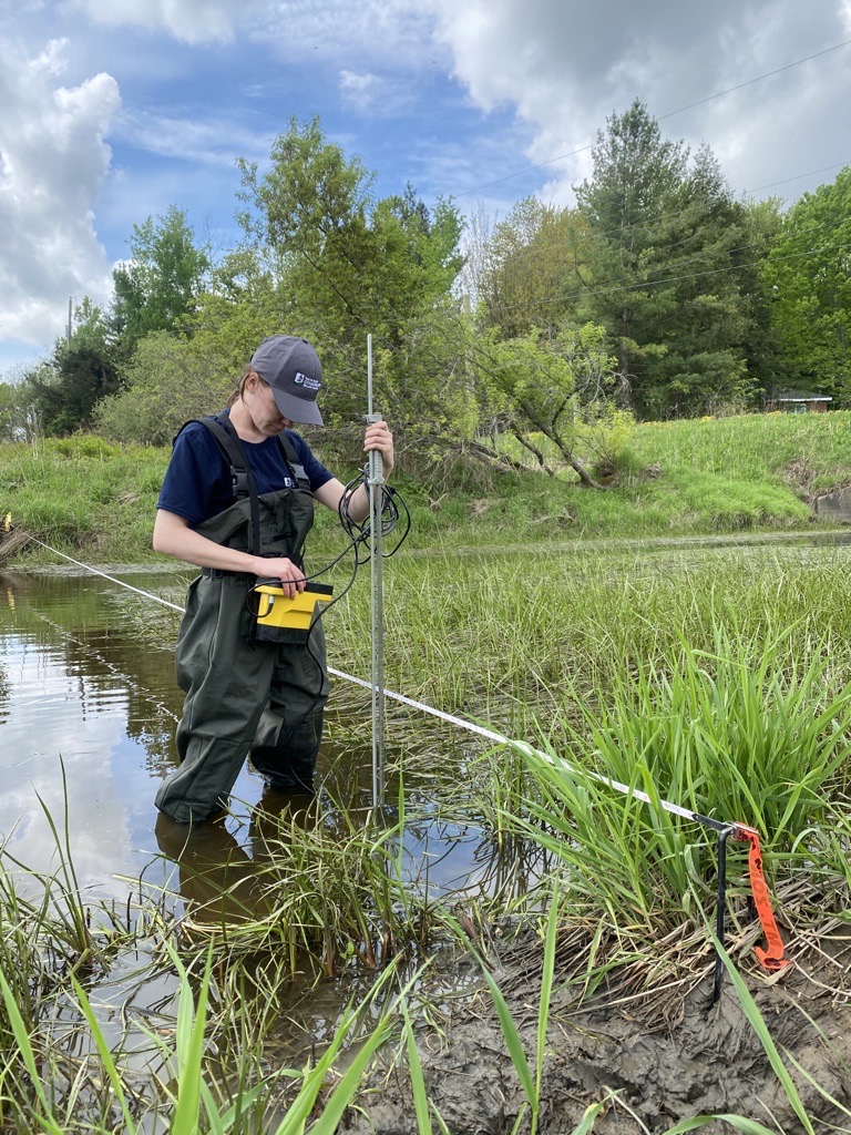
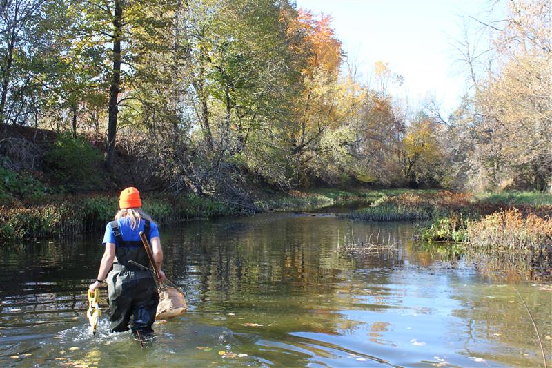
SNC, in partnership with the Ministry of Natural Resources, maintains a network of stream gauges, rain gauges and snow course sites within the watershed. This data is used to quantify the components of the hydrologic cycle.
We analyze the data from the stream and rain gauges daily to apply to programs and projects such as Flood Forecasting and Warning, Low Water Response, water control structures management, and shoreline erosion repair.
Interactive Water Levels Map
Stay informed about current water conditions across the South Nation Watershed using SNC’ Interactive Water Levels Map.
Zoom in or out to explore the watershed and select any monitoring station to access current water levels and streamflow information, historical trends, and interactive graphs.
The map provides timely hydrometric data from monitoring stations throughout the watershed, helping residents, municipalities, emergency responders, and recreational users track changing conditions, plan outdoor activities, and stay informed during periods of high or low water.
Data is updated automatically as new information becomes available from each monitoring station.
 To view the map in a new window click here: SNC's Interactive Water Levels Map